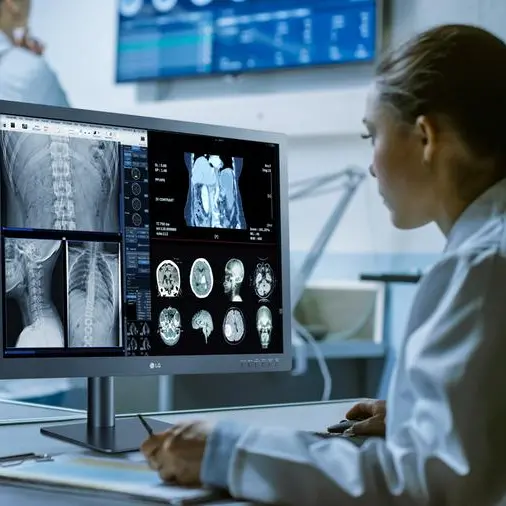
Sharjah, United Arab Emirates - GISTEC, the official Esri distributor in the United Arab Emirates (UAE), hosted complimentary training courses on ArcGIS Desktop to more than 40 university students and fresh graduates. The training was held in GISTEC Training Center - Sharjah and conducted by Esri authorized instructors from GISTEC.
This week, GISTEC finished the summer training program that was carried out from June 26 to August 16, 2011. In this six weeks period, free basic courses on GIS and ArcGIS software were provided to five batches of trainees from different universities in the UAE. Most of the attendees were students. Few fresh graduates and faculty staff also participated in the program.
The training consisted of two Esri courses: ArcGIS Desktop I: Getting Started with GIS held for two days and ArcGIS Desktop II: Tools and Functionality for three days. Both courses teach the fundamental concepts and basic functions of a GIS and the use of ArcGIS Desktop software.
Part of GISTEC Career Development Program, the summer training aims to increase awareness among students about GIS technology. It also seeks to equip them for the opportunities that abound in the field by providing professional GIS training to those who are specializing in GIS and other related fields.
GISTEC contributes in different ways in building GIS capacity in the UAE and focuses on Emiratis to take over the technology. Such actions we can mention GISTEC CPE (Continuing Professional Education) to selected Emiratis GIS specialist and the GIS Career Forum.
-Ends-
About GISTEC Training Centre:
GISTEC Training Center, with two locations in Sharjah and Abu Dhabi, is a designated Esri Authorized Learning Center.Since its inception, GISTEC Training Center has trained more than 5,000 individuals from various government agencies and private companies in the UAE and GCC countries.
The training center offers more than 200 training courses each year. Majority of which are introductory and advanced training courses on Esri GIS software. GISTEC Training Center uses current training materials from Esri so students are ensured that they will be taught on the latest software release. Each training course is taught by an Esri authorized instructor and students earn an internationally-recognized Esri student certificate upon completion of the course.
The training center also provides training courses on remote sensing and photogrammetry (PCI Geomatica), facilities management (ArcFM UT), spatial ETL (SAFE FME), and web-based GIS (Geocortex), among others. For more details visit www.gistec.com/training.
About GISTEC:
GISTEC is a professional GIS services company specializing in the development of intelligent, enterprise wide geospatial solutions for clients in a variety of disciplines and industries. Our services include GIS consulting, database services, geographic imaging, applications development, server and web GIS, and training. Apart from offering leading GIS software from Esri, we also support field and smart phone solutions from 3-GIS, Geocortex Web GIS solutions from Latitude Geographics, utility GIS solutions from AED-SICAD, ETL software from Safe Software, telecom GIS products from Telcordia, and remote sensing and image processing solutions from PCI Geomatics, among others. GISTEC does not just sell these software products, but develops solutions to meet the unique business requirements of its customers. For more information or for any questions about GIS solutions and services, please email us at info@gistec.com
Course outlines (www.esri.com):
ArcGIS Desktop I: Getting Started with GIS:
This course teaches the fundamental concepts and basic functions of a GIS, the properties of GIS maps, and the structure of a GIS database.
Goals
- After completing this course, you will be able to
- Understand what GIS is, what it can do, and how others are using it.
- See how your organization can benefit from a GIS.
- Create a basic GIS map.
- Work with different types of geographic data.
- Access information about geographic datasets and features.
- Apply a systematic approach to analyzing data in order to find patterns and relationships.
ArcGIS Desktop II: Tools and Functionality:
This course introduces the fundamental concepts of ArcGIS Desktop software and teaches how to use it to visualize, create, manage, and analyze geographic data. In course exercises, you will use ArcGIS tools to perform common GIS tasks and workflows.
Goals
- After completing this course, you will be able to
- Create a file geodatabase to store and manage geographic data.
- Create and edit geographic data to accurately represent real-world objects.
- Explore geographic data in ArcMap.
- Classify, symbolize, and label map features to improve map visualization and interpretation.
- Create data by geocoding addresses.
- Query and analyze GIS data to support decision making.
- Create maps to share with others.
Please contact Issam.attalah@gistec.com for more information about the Summer Training Program and GISTEC Education Program.
© Press Release 2011


