PHOTO
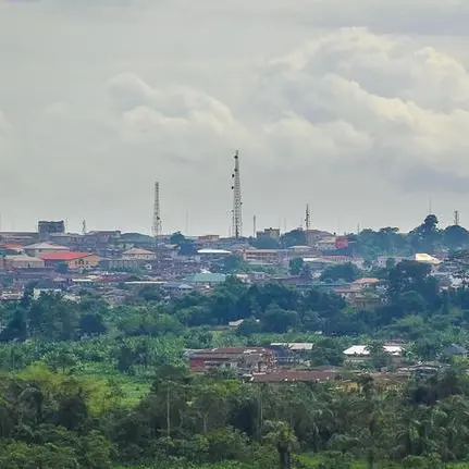
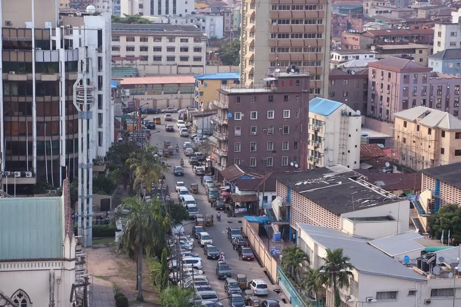
The Lagos State Government has announced major progress in modernising land administration and Urban Development through its Enterprise Geographic Information Service (e-GIS), a project led by the Lagos Geographic Information Service (LAGIS).
This was disclosed by the Special Adviser, e-GIS and Urban Development, Dr. Olajide Babatunde, during the ministerial press briefing of the Offices of e-GIS and Urban Development on Monday.
The special adviser said that the strategic initiative, designed to revolutionise land administration, urban planning, and geospatial data management across the state, was transforming how land records, planning data, and geospatial information were collected, processed, and used across the state.
He said that since the inception of the project in 2016, and the formal establishment of the Lagos e-GIS Office in 2021, the initiative had consistently delivered on its core mandate of building a comprehensive, computerised spatial data infrastructure to support a greater, smarter Lagos.
He said that the strategic goal of the e-GIS Office was automating and integrating digitization efforts across key agencies such as the Lands Bureau, Physical Planning, Land Use Charge, and Office of the State Surveyor-General, and coordinating a state-wide mapping and survey project in collaboration with the Surveyor-General’s office, while establishing Spatial Data Infrastructure (SDI) and deploying UAV drones, RTK systems, and cadastral software for precise land mapping and data collection.
He added that the office was also responsible for driving capacity building in Geographic Information Systems (GIS) for Lagos State Civil Service personnel, and providing consultancy and integration support for Ministries, Departments, and Agencies (MDAs), leveraging GIS technologies.
Meanwhile, the special adviser also hinted that the state government’s target of 50 percent reduction of slums was progressing with the urban regeneration of some identified slums in the state.
According to him, the urban regeneration efforts of the Lagos State Government, executed through the Lagos State Urban Renewal Authority (LASURA), was aimed at a 50 percent annual reduction of slums and squatter settlements in the state by carrying out the construction, upgrade, and rehabilitation of comprehensive drainage solutions and road networks.
He noted that the Sanwo-Olu administration was delivering infrastructure upgrades, including drainage works, road rehabilitation, and water projects to support the targeted reduction in slum settlements in areas such as Somolu, Bariga, Surulere, and Ifelodun Local Government and Local Council Development Areas.
“Our urban regeneration efforts have witnessed the upgrading of six roads in Ifelodun Local Council Development Area( LCDA), 11 roads in Bariga LCDA,13 and six roads in Somolu and Surulere Local Government Areas, respectively, in addition to the upgrading of Arobadade Channel and Water Reticulation projects in Bariga and Ifelodun LCDAs, respectively,” he said.
The special adviser stated that additional urban renewal and regeneration efforts were underway in Lakowe Phase II, Adeniji Adele Low-cost Housing Estate, Jakande Estate, Ilasan, Lekki, Ipodo-Olowu, Ikeja as well as several informal communities across Ajegunle, Alimosho, Agege, and Ajeromi-Ifelodun, all designed to address long-standing urban decay.
He said that resettlement plans were being implemented in some instances, including Adeniji Adele Low-cost Housing Estate phase 14 while compensation and engagement of residents were in progress in some others such as Otumara.
He highlighted LASURA’s partnership with the United Nations on the development of Makoko Water City Project, which aims to introduce a sustainable and adaptable waterfront to the unique characteristics of the Makoko community, adding that this and other efforts reaffirmed the state government’s commitment to promoting inclusive urban renewal, improved housing conditions, and sustainable community development.
In addition, he said that Lagos e-GIS Office has successfully launched the Automated Land Administration Portal, simplifying and digitizing land transactions.
“As part of the reforms, the state launched the Aumentum Land Administration Portal, now the official platform for all land-related transactions. This digital system ensures simplified, faster service delivery, improved transparency, and easier access for residents and investors while we have also developed and operationalised the e-GIS portal connecting spatial data from various MDAs and completed a state-wide digital mapping project with orthophoto maps and LiDAR technology to create an accurate and comprehensive cadastral map of Lagos,” he said.
To support this effort, he said that over 150 GIS toolsets were distributed to key agencies such as the Lands Bureau and the Office of the State Surveyor General.
Copyright © 2022 Nigerian Tribune Provided by SyndiGate Media Inc. (Syndigate.info).