PHOTO
A low pressure area outside the Philippine Area of Responsibility may develop into a tropical depression Monday or Tuesday, according to the state weather bureau.
The low pressure area located 1,400 kilometers east of northeastern Mindanao has a high chance of becoming a cyclone today or Tuesday, PAGASA weather specialist Obet Badrina said.
It will be called Kabayan-the country's first cyclone in November and the 11th this year-once it enters the PAR by Wednesday.
Badrina explained that previous storms that developed in November or December usually crossed Visayas or Mindanao or recurved toward Japan.
The shear line, which is the point where the cold and warm winds meet, will bring cloudy skies with scattered rain showers and thunderstorms to Bicol region, Aurora, Quezon and Northern Samar.
Meanwhile, residents of Cagayan Valley and Apayao will have cloudy skies with rains due to the northeast monsoon.
PAGASA warned that moderate to at times heavy rains may trigger flash floods and landslides in those areas.
The northeast monsoon will also bring isolated light rains to Ilocos region, the rest of Central Luzon, and the rest of the Cordillera Administrative Region.
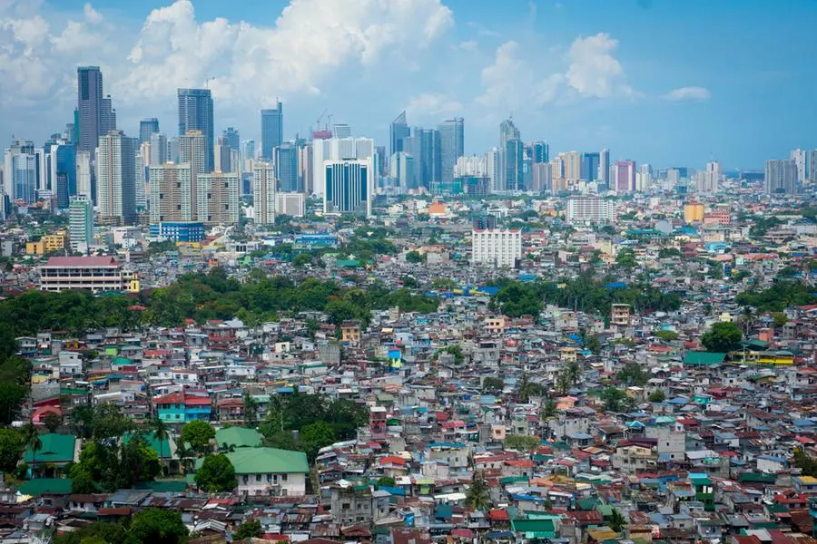
Metro Manila and the rest of the country will have isolated rain showers or thunderstorms.
Copyright © 2022 PhilSTAR Daily, Inc Provided by SyndiGate Media Inc. (Syndigate.info).