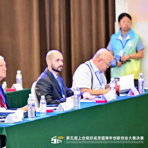
PHOTO
Sharjah: As part of its ongoing efforts to develop a digitally integrated government ecosystem and enhance data-driven government efficiency, Sharjah Digital Department (SDD) organised the second edition of the Sharjah GIS Forum under the theme “Digital Transformation Through Geographic Information Systems”.
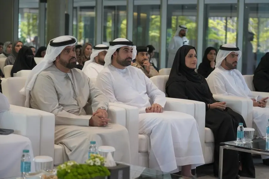
Attended by H.E. Sheikh Saud bin Sultan Al Qasimi, Director General of SDD, the forum brought together more than 150 experts, specialists, and decision-makers, alongside representatives from government entities, academic institutions, and leading organisations in the fields of Geographic Information Systems (GIS) and digital transformation.
The forum aligns with the Emirate of Sharjah’s vision to build an integrated government ecosystem where data, services, and government entities collaborate to enhance decision-making efficiency, improve service quality, and advance the emirate’s digital transformation journey.
The event aimed to highlight the strategic role of GIS as a key enabler of digital transformation by supporting integration across government entities, promoting the unified use of geospatial data, enhancing decision-making through accurate and up-to-date geospatial information, and accelerating the adoption of GIS solutions across government projects and services.
In her opening speech, H.E. Eng. Lamia Al Hosan Al Shamsi, Director of SDD, emphasised that geospatial information has emerged as one of the most important strategic assets supporting planning and decision-making.
H.E. noted that GIS is no longer merely a technical tool or a digital mapping solution. Rather, it has evolved into a strategic knowledge capability that connects data to place, enabling governments to gain deeper insights into urban dynamics, community needs, and service efficiency.
H.E. added: “Sharjah’s vision for digital transformation is centred on building an interconnected government ecosystem where data, services, and government entities are seamlessly integrated to enhance government efficiency and improve quality of life. In line with this vision, SDD is working to unify government efforts, strengthen digital integration, and develop a shared digital infrastructure that supports decision-making, accelerates data exchange, and enables entities to operate with the mindset of one government.”
H.E. explained that GIS represents one of the most important enablers of this integration, given its ability to unify perspectives, connect data, and support urban planning, infrastructure management, sustainability initiatives, and digital government services.
She added that the forum serves as a platform for knowledge exchange, partnership building, and enhanced collaboration among government entities, academic institutions, and the private sector, contributing to the advancement of digital transformation across the Emirate of Sharjah and the UAE.
The forum featured an introductory video showcasing the role of GIS across several key sectors, including food and agriculture, infrastructure, smart cities, environment, and sustainability. The programme also included 4 presentations delivered by specialists from various government entities across the UAE, two panel discussions featuring leading experts, and a specialised technical presentation highlighting the latest GIS technologies and solutions.
The forum serves as a strategic platform for advancing government integration through the unified use of geospatial data, enabling smarter decision-making, improving operational efficiency, and accelerating digital innovation. It also fosters collaboration between the public and private sectors to support the development of a more connected and sustainable digital ecosystem, in line with Sharjah’s vision for a future-ready digital government.