PHOTO
Bahrain - The second phase of a Bahraini project to develop a satellite payload for monitoring carbon dioxide (CO2) emissions has been completed, it has been announced.
The £1.4 million (around BD715,500) initiative is aimed at keeping an eye on air quality and greenhouse gas emissions to address environmental concerns in Bahrain and the Gulf Region, according to the Bahrain Space Agency (BSA).
A significant aspect of the project involves monitoring CO2 emissions, a major greenhouse gas, to help understand and potentially reduce emissions in the region.
Collaborating on the project, funded by the UK Space Agency’s International Bilateral Fund, are the University of Leicester and British company Geospatial Insight.
“During the second phase, Bahraini engineers worked alongside British experts to design the mission concept and develop a hyperspectral camera for oxygen detection, which will enhance the accuracy of carbon dioxide monitoring,” said the BSA yesterday.
“The team also contributed to the development of a carbon dioxide sensor and participated in commercial studies to assess the project’s broader applications for Bahrain and the Gulf region.”
Space engineer Yaqoob Al Qassab described the project’s second phase as a significant milestone, providing Bahraini engineers with advanced technical expertise.
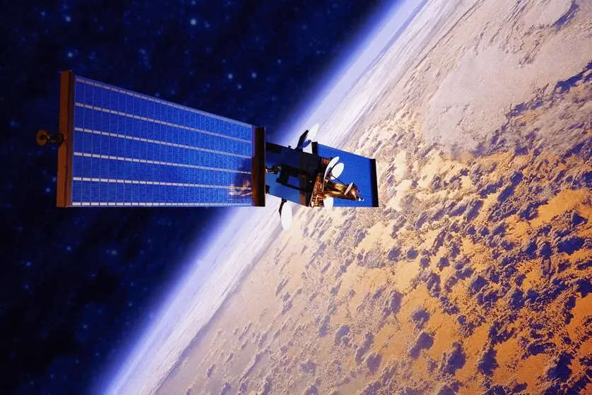
Once launched, the payload will deliver high-speed, real-time data on carbon dioxide emissions for Bahrain and the Gulf region.
The project ultimately aims to deploy a constellation of satellites equipped with this technology.
Man-made greenhouse gas emissions, mainly CO2 compromising around 76 per cent of total greenhouse gas emissions, are driving global climate change, according to Geospatial Insight.
“Governments, industries and society agree that emissions must decrease. Accurate detection, measurement, and monitoring of CO2 at the source are essential for organisations to understand their emissions profile and create effective reduction strategies,” it said on its website.
The company added that CO2Sat – the world’s first satellite designed to detect, measure and monitor point source emissions of carbon dioxide – is planned as a constellation of satellites to deliver the capability to read CO2 emissions – providing consistent, frequent and accurate measurement at a global scale.
The benefits of CO2Sat include:
* Enhanced emission tracking – track CO2 emissions with high accuracy, identify sources and implement reduction strategies.
* Regulatory compliance – comply with international and local environmental regulations by providing verifiable emission reports.
* Climate change mitigation – detailed and accurate emission data, aids policymakers and stakeholders in making informed decisions.
* Scientific research and insights – facilitates new insights into emission sources and trends.
“CO2Sat aims to deliver emissions measurements with unprecedented accuracy and detail, targeting a spatial resolution of 50 metres and a minimum detection threshold of 50,000kg per hour emission rate.
“The launch of the first satellite is scheduled for 2027-28.”
BSA chief executive Dr Mohamed Al Aseeri said that the collaboration aligned with the agency’s strategy to build international partnerships and expand its capabilities, particularly in delivering advanced data and imagery services to benefit Bahrain and the Gulf.
And head of strategic planning Rasha Al Amad emphasised the importance of accurate greenhouse gas monitoring for effective climate action, noting that reliable carbon dioxide data is essential for countries and organisations to understand emissions patterns and develop strategies for carbon neutrality.
Copyright 2022 Al Hilal Publishing and Marketing Group Provided by SyndiGate Media Inc. (Syndigate.info).
