The Dubai Municipality launched a new edition of the 3-D Dubai City Map showing the huge changes that have taken place in the city during the past five years.
The illustrated map has been updated for the first time since 2000.
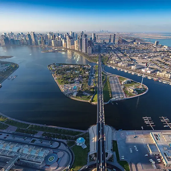
It shows an aerial view of the city from the Dubai-Sharjah border in the east to Jebel Ali in the west, and from Jumeirah Beach in the South to Emirates Road and Dubai Land in the North.
It shows almost all important landmarks in the city, including the old and newly developed areas such as Dubai Marina and the new Jebel Ali Airport site.
It also lays out the road network linked to the new areas.
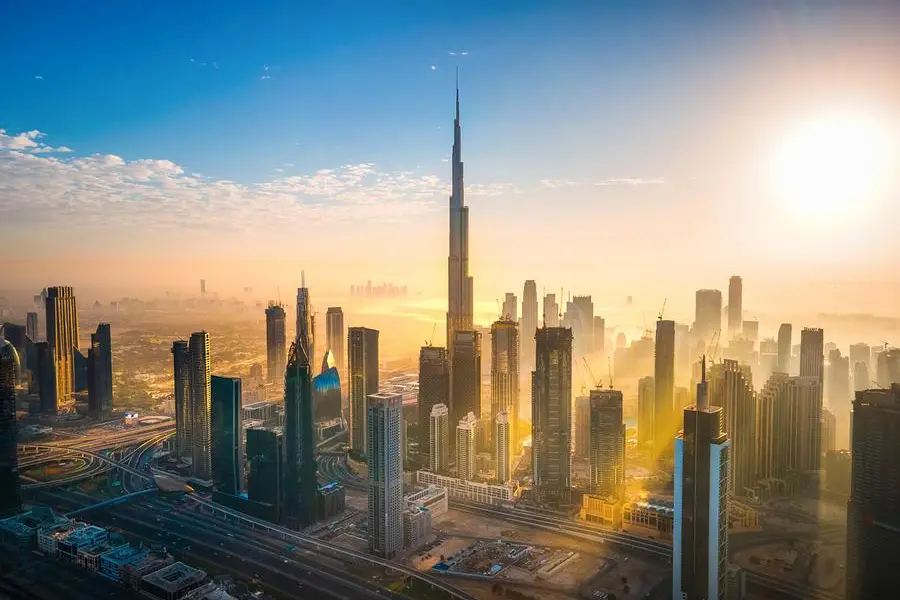
The map shows pictures of some landmark buildings, including the under construction Burj Dubai and the third bridge over the Dubai Creek in addition to a new skyline on Shaikh Zayed Road.
The map, which comes in poster form, also shows new Zabeel Technology Leisure Park, the Palm Jumeirah, The World and the Global Village.
Around 88 additions have been made in the new map to show the city’s growth since 2000.
“This poster will be very handy for residents and tourists as they can use it as a quick locator for different parts of the city,” said Eisa Al Maidoor, Assistant Director General of General Projects Affairs at the Municipality. He said Dubai is expanding fast.
He said Dubai is expanding fast. “Residents especially tourists need to have this kind of poster explaining the main infrastructure of the city including roads, buildings and newly developed areas,” he said.
Mohammad Al Noori, Head of Advertisement Section at the Municipality said: “We have launched the new edition of the map after five years.
“From now onward, we will update this illustration of the city every year keeping in view the fast development,” he said.
“During the last five years, a lot of changes have taken place in the city. It is necessary to update maps on regular basis.
The Municipality has its own interactive map of the city but the illustrated poster allows quick reference and gives an idea about what the city looks like.”
Russ North, Creative Director of Masterplan, a company specialised in illustrated maps and guides, said they had drawn the original map of the city.
He said that the company would also publish a Dubai Day and Night guide map with main concentration on entertainment, hotel, leisure and retail sector.
“It will be distributed free of cost at all the important places in Dubai. It will contain information about ‘day and night’ life in Dubai.
“We also have plans to launch an interactive map on CDs listing details about all the important places with locators,” North said.
The illustrated poster will be available at major tourist information centres, hotels, airport, and bookshops at the cost of Dh28.
Gulf News