PHOTO
- “Mosaic” images of all other Emirates will be released in due course
Dubai: The Mohammed Bin Rashid Space Centre (MBRSC) today announced the completion of an updated map of the Abu Dhabi and Dubai using the UAE's first high-resolution satellite image “Mosaic”, captured by KhalifaSat. The system captures a matrix of individual digital images to create a single high-resolution picture of the UAE’s terrain. This imaging system by MBRSC will provide a comprehensive view of the UAE’s topography, using remote sensing systems, image processing, geographic information systems and artificial intelligence. While the service currently provides detailed high-resolution satellite image mosaic of Abu Dhabi and Dubai, mosaic of all Emirates will be released soon.
The system is part of the Mohammed Bin Rashid Space Centre’s efforts to support federal and local government entities, research and academic institutions as well as the private sector to take advantage of this type of technology that plays an important role in understanding the geography, topography and environmental impacts of large areas in the UAE more accurately.
In view of the MBRSC’s efforts to spread knowledge, expand the use of space technologies owned by them and extend cooperation frameworks to all entities, “Mosaic” will be provided to all government and non-governmental entities free of charge for the purpose of benefiting the agencies and enhancing their role in the UAE society. This type of satellite imagery is relevant to stakeholders in infrastructure, urban planning, environment and climate change sectors, energy, education, technology, roads and transportation, among others in the UAE. Accordingly, MBRSC will provide high-resolution images from the “Mosaic” system, after conducting a comprehensive survey of the area requested by the entity, according to the nature of their activity.
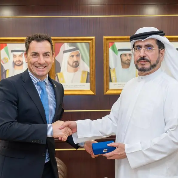
His Excellency Yousuf Hamad AlShaibani, Director General, MBRSC, said: “The Mohammed Bin Rashid Space Centre seeks to contribute effectively to the community through projects that support the development sectors in the UAE. Over the past few years, MBRSC has established itself as an efficient and leading space centre for the Middle East region, weighed in by the impact of its projects and technologies in non-space sectors as well. The launch of KhalifaSat’s first satellite image “Mosaic” is of strategic importance to support the infrastructure of all vital sectors in the UAE and promote strategic decisions by key stakeholders operating in the country.”
Technical specifications
The Mohammed Bin Rashid Space Centre collects images of a specific geographic area through the KhalifaSat at specific intervals ranging from days or months. These images are then combined to form one single comprehensive image with a high visual resolution of up to 0.7 meters, in TIFF format, well-known for storing raster graphics images. This is in addition to the satellite’s 90 km land coverage. “Mosaic” differs from other satellite images as it has higher image resolution and clarity due to the use of Geo-referencing system and other modern technologies.
Scientific methodology
Explaining the methodology of the new imaging system, Ammar Saif AlMuhairi, Head of Image Processing Section, MBRSC, explains: “The “Mosaic” imaging system at the Mohammed Bin Rashid Space Centre goes through systematic stages of image extraction. Firstly, individual images scattered over an area are taken by the satellite during a given period. The system then geo-assigns these images using a coordinate reference system to ensure the highest possible resolution. The image correction phase is followed by enhancing contrast and various corrections to make sure that all images are free of distortions. Finally, the colours of the satellite images are matched and blended, followed by the testing of the outcome by the relevant team, and ensuring its correctness before finally releasing it.”
In this regard, the Business Development Section, MBRSC is looking to further expand the use of its tools and technology, while extending the framework of cooperation to all entities. MBRSC is also keen to hold regular meetings with government departments to find out the nature of their activities and provide integrated solutions to meet their needs, and provide them with the required satellite images. The services are also being extended to entities in the private sector. The Centre will also partner with local statistics authorities as the outcomes offered by KhalifaSat play a crucial role in promoting the exchange of expertise in addition to providing data to different sectors in order to assist them in drafting reports for infrastructure projects. It will help also in answering critical inquiries that will support the strategic decisions of government entities.
The Mohammed Bin Rashid Space Centre owns remote sensing satellites, like the DubaiSat 1 and 2 satellites and its successor KhalifaSat. These satellites have helped produce several scientific reports and studies that are dedicated to observing and monitoring the Earth, and also provides satellite images.
-Ends-
About MBRSC:
The Mohammed Bin Rashid Space Centre, founded in 2006, is home to the UAE National Space Programme. The Centre builds and operates earth observation satellites, offering imaging and data analysis services to clients around the world. The Centre launched DubaiSat-1, DubaiSat-2, and recently launched KhalifaSat on 29 October 2018 from Tanegashima Space Center in Japan. KhalifaSat was developed 100% in the UAE by a team of highly qualified Emirati engineers. The Centre is responsible for the development of the Emirates Mars Mission and the Mars Hope Probe, a mission to reach Mars orbit by 2021 and gather key science data about Mars’ atmosphere, as well as the UAE Astronaut Programme and the development of the Mars 2117 vision to build a human colony on Mars.
For media inquiries:
Salama Al Falasi
Corporate Communications Department
Salama.Alfalasi@mbrsc.ae
+97146071200-ext 380
© Press Release 2020
Disclaimer: The contents of this press release was provided from an external third party provider. This website is not responsible for, and does not control, such external content. This content is provided on an “as is” and “as available” basis and has not been edited in any way. Neither this website nor our affiliates guarantee the accuracy of or endorse the views or opinions expressed in this press release.
The press release is provided for informational purposes only. The content does not provide tax, legal or investment advice or opinion regarding the suitability, value or profitability of any particular security, portfolio or investment strategy. Neither this website nor our affiliates shall be liable for any errors or inaccuracies in the content, or for any actions taken by you in reliance thereon. You expressly agree that your use of the information within this article is at your sole risk.
To the fullest extent permitted by applicable law, this website, its parent company, its subsidiaries, its affiliates and the respective shareholders, directors, officers, employees, agents, advertisers, content providers and licensors will not be liable (jointly or severally) to you for any direct, indirect, consequential, special, incidental, punitive or exemplary damages, including without limitation, lost profits, lost savings and lost revenues, whether in negligence, tort, contract or any other theory of liability, even if the parties have been advised of the possibility or could have foreseen any such damages.