PHOTO
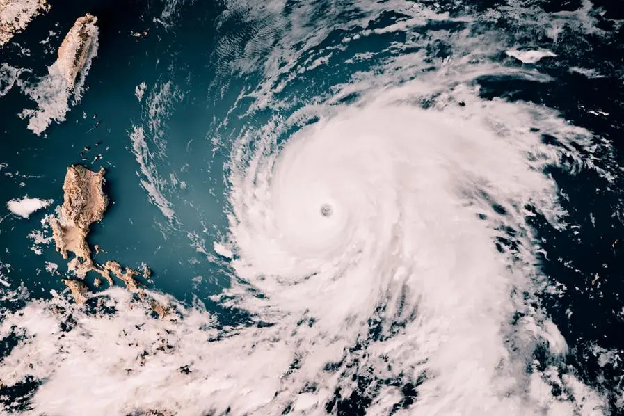
Tropical Storm Enteng (international name: Yagi) has moved inland and is now over Quirino Province after making landfall earlier in Casiguran, Aurora.
As of 4 p.m., the center of tropical storm Enteng was located near Maddela, Quirino (16.3°North, 122.3°East) as it continued to move north northwestward at 20 kilometers per hour (kph), state weather bureau PAGASA said in its 5 p.m. advisory.
It maintains maximum sustained winds of 85 kph near the center, with gusts reaching up to 140 kph. Strong to gale-force winds extend up to 200 kilometers from the storm's center.
Forecast track. Enteng is expected to continue its movement north northwestward or northward across Cagayan Valley or the northern Cordillera Administrative Region before turning west northwestward over the Babuyan Channel on the morning of September 3.
From tomorrow afternoon, September 3 through Thursday, Enteng will track westward over the West Philippine Sea. It is also likely to further intensify on Tuesday afternoon, September 3, possibly becoming a severe tropical storm.
The cyclone will then exit the Philippine area of responsibility by September 4.
Forecast track of tropical cyclone Enteng as of 5 p.m. on September 2.
PAGASA
Wind signals
The tropical cyclone wind signals in areas over Luzon are still in effect.
Here are the Tropical Cyclone Wind Signals hoisted as of 2 p.m.:
Signal No. 2
Ilocos Norte
Apayao
Eastern portion of Kalinga (Rizal, Pinukpuk, City of Tabuk)
Cagayan, including Babuyan Islands
Isabela
Quirino
Northern portion of Aurora (Casiguran, Dilasag, Dinalungan, Dipaculao, Baler)
Winds in these areas are expected to range from 62 to 88 kph, posing a minor to moderate threat to life and property.
Signal No. 1
Batanes
Rest of Ilocos Norte
Ilocos Sur
La Union
Eastern portion of Pangasinan (Rosales, Asingan, Binalonan, Sison, San Manuel, Santa Maria, Balungao, San Quintin, Tayug, Umingan, Natividad, San Nicolas)
Abra
Rest of Kalinga
Mountain Province
Ifugao
Benguet
Nueva Vizcaya
Rest of Aurora
Nueva Ecija
Eastern portion of Bulacan (Doña Remedios Trinidad, Norzagaray, City of San Jose del Monte, Obando, City of Meycauayan, Bocaue, Balagtas, Bustos, Baliuag, Pandi, Santa Maria, Marilao, Angat, San Rafael, San Ildefonso, San Miguel)
Metro Manila
Rizal
Northeastern Laguna (Santa Maria, Mabitac, Pakil, Pangil, Famy, Siniloan)
Northern Quezon (General Nakar, Infanta, Real), including Polillo Islands
Winds in these areas are forecast to be between 39 and 61 kph, with minimal to minor impacts expected.
Copyright © 2022 PhilSTAR Daily, Inc Provided by SyndiGate Media Inc. (Syndigate.info).
