PHOTO
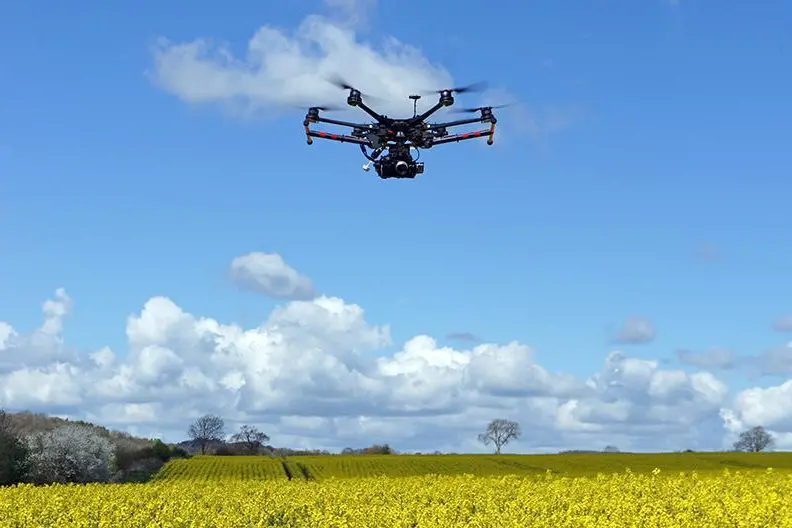
Egypt’s Ministry of Local Development and Environment has signed a cooperation agreement with Drone Tech to deploy a smart aerial monitoring system using drones powered by artificial intelligence and geospatial analysis, as part of efforts to modernise oversight and improve public service delivery.
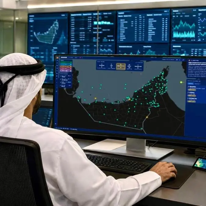
In a statement, the ministry said the system will enable real-time field monitoring and data analysis to support decision-making across governorates.
Environment Minister Manal Awad said the project will strengthen oversight in key areas affecting daily life, including building violations, waste management, and pollution tracking—particularly the seasonal “black cloud” phenomenon.
The system will also be used to monitor encroachments on natural reserves, support afforestation efforts under Egypt’s 100 Million Trees initiative, and enhance environmental inspection and public service monitoring.
According to the ministry, the project will utilise advanced spectral imaging technologies to analyse and track pollution sources with high precision, forming part of broader efforts to integrate cutting-edge technologies into government operations.
Awad described the initiative as a “qualitative leap” in oversight systems and a step forward in advancing Egypt’s digital transformation agenda and Vision 2030 goals.
For his part, Mohamed Shehata Youssef, Chairperson of Drone Tech, said the company will provide full technical support for the rollout, describing the project as the first of its kind in cooperation with the ministry.
He added that deployment will take place in phases across Egypt’s governorates, based on priority areas and in coordination with relevant authorities, to strengthen monitoring and regulatory mechanisms.
© 2026 Daily News Egypt. Provided by SyndiGate Media Inc. (Syndigate.info).