PHOTO
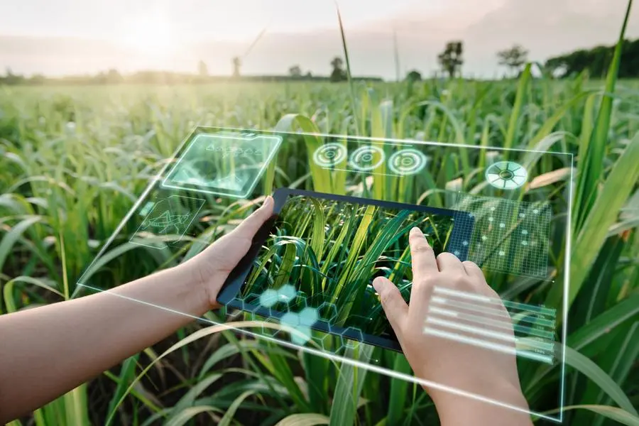
Bahrain's Information & eGovernment Authority (iGA) has launched one of its pioneering projects, Botanical Atlas, that provides a set of vegetation maps, classifications, types of agricultural crops in the kingdom, along with their areas and locations on maps through the employment of satellite images and remote sensing techniques in addition to the use of field surveys, which contributed to the production of spatial information segments.
It was unveiled on the opening day of the Bahrain International Garden Show (BIGS 2023) today (March 9) at the Exhibition World Bahrain in Sakhir.
The four-day event is being organised under the patronage of His Majesty King Hamad bin Isa Al Khalifa, and supported by Princess Sabeeka bint Ebrahim Al Khalifa, Wife of His Majesty the King and the President of the Advisory Council of National Initiative for Agricultural Development (NIAD).
iGA Chief Executive Mohammed Ali AlQaed stressed on the importance of BIGS 2023 and the impact and sustainability of the event and diversity of its content provided to all visitors, in light of the modern and advanced technologies, and attracting Various specialized local, regional and international institutions.
The launch of the Botanical Atlas was held at the iGA stand in the presence of Shaikh Isa bin Salman bin Hamad Al Khalifa, Chairman of the Board of Trustees of the Isa bin Salman Charity Educational Charitable Trust.
At the event, iGA is showcasing a number of projects, including the Plant Biomarkers project, in which it employed remote sensing and Geographic Information Systems to obtain detailed information about vegetation coverage in Bahrain.
The implementation of this project contributed to the production of 48 detailed maps of plant biomarkers at a rate of 12 maps for each indicator during 2019, and the identification of areas that plants suffer from lack of water throughout the year, and areas with abundant water and other outputs such as chlorophyl and nitrogen have been identified.
Al Qaed pointed out that one of the most important outputs of this project is its role in measuring the plant health index in the kingdom by gauging the vitality and greenness of vegetation cover and the extent of chlorophyll concentration in it, which is one of the most important components of the plant health index, and the types of agricultural habitats such as gardens, parks, shrubs, salt marshes, muddy areas and sabkh areas, in addition to identifying the types of vegetation cover such as trees, shrubs and herbaceous plants.
He also referred to the soil maps project in the kingdom, in which the authority relied on multispectral satellite images, remote sensing techniques and field surveys to produce maps of the agricultural characteristics of the soil, explaining that iGA aimed from implementing this project to identify agricultural areas and areas suitable for construction and provide soil maps to government agencies through the national geographic information base platform.
Copyright 2022 Al Hilal Publishing and Marketing Group Provided by SyndiGate Media Inc. (Syndigate.info).