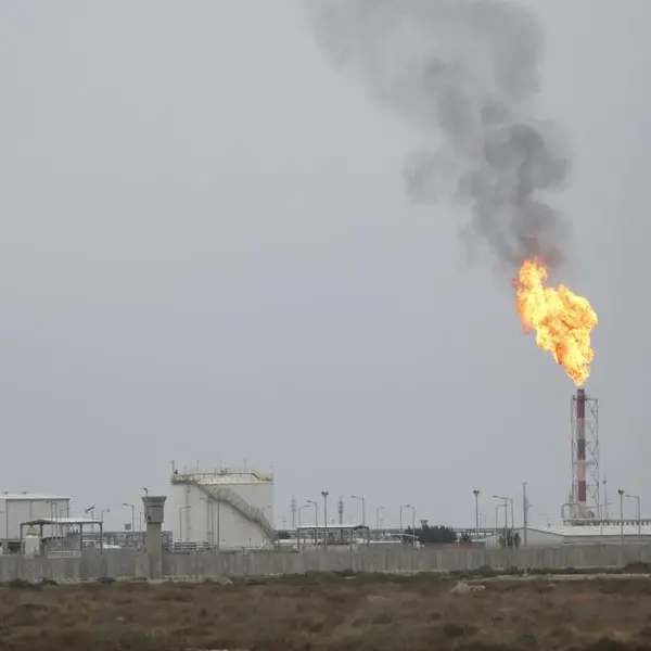
PHOTO
RIYADH — The Saudi Geological Survey (SGS) has completed the collection of samples for the high-resolution geochemical survey project of the Arabian Shield from valley sediments in record time. Geochemical specialists of SGS have collected nearly 88,000 geochemical samples, covering an area of 540,000 square kilometers, and 76 elements were analyzed for each sample.
Tariq Aba Al-Khail, spokesman of SGS, said that the high-resolution geochemical survey project for the Arabian Shield represents one of the General Programs of SGS. “The valley sediments and heavy metal concentrations in the Arabian Shield are being used in order to obtain and analyze high-quality geochemical data,” he said.
Aba Al-Khail pointed out that the national geological database will be fed with its final results with the aim of stimulating the mineral exploration sector in order to attract local and foreign investment to the mining sector, in addition to providing multi-purpose geological data to support a number of sectors in different fields such as water, sector infrastructure, as well as the environment and others.
The Arabian Shield represents the western part of the Arabian Peninsula, and is bordered to the west by the Red Sea Rift and the coastal plains known as the Tihama Plains. It is bordered to the north and west by sedimentary cover rocks. It consists of several types of rocks belonging to the precambrian era, offset by belts of various metamorphic rocks, and deformed rocks, and these rocks are more than 1.2 million years old.
The Arabian Shield is a relatively stable mass, and thick sequences of continental and shallow marine sediments are deposited on its surface, which has been subjected to erosion, which tilt at a small angle in the direction of the Arabian Gulf and the Rub’ al-Khali sedimentary basin.
© Copyright 2022 The Saudi Gazette. All Rights Reserved. Provided by SyndiGate Media Inc. (Syndigate.info).