PHOTO
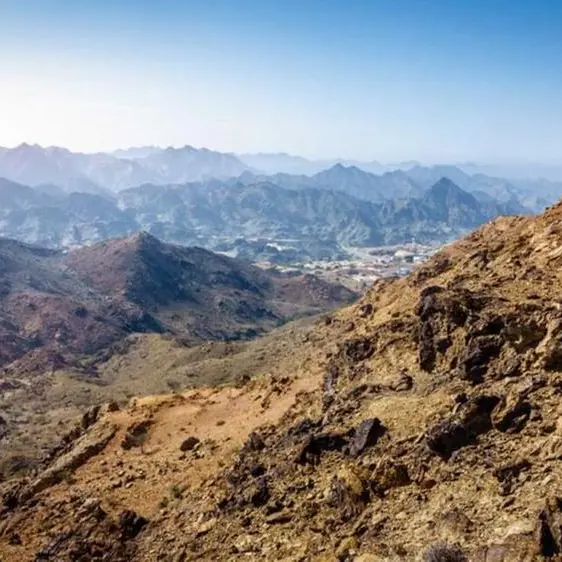
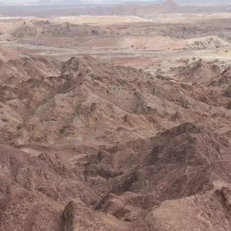
The Saudi Geological Survey is currently working on building a 3D visualisation to map the kingdom’s subsurface resources and hazards, according to CEO Abdullah Al-Shamrani.
“The work is ongoing in phases, and we are expected to complete it by 2030,” he told Al Eqtisadiah, an Arabic daily.
Al-Shamrani said they have completed the geological data collection phase and begun building a database that connects and leverages this information to help identify hazards and develop solutions.
The authority has registered more than 5,650 sites to date, with an estimated value of 9.4 trillion Saudi riyals ($2.5 trillion), the report said.
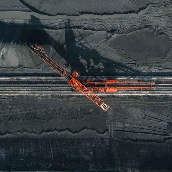
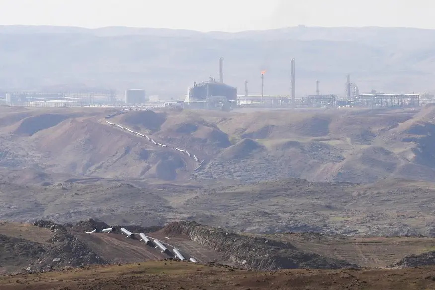
Geologists use such data to better understand faults and earthquakes as well as the locations and information for water wells, geotechnical borings, oil and gas wells, and geothermal wells, according to the Washington Geological Survey.
In May 2023, Zawya Projects had reported that Saudi Geological Survey, in partnership with the Chinese Geological Survey, launched a $207 million geological mapping project for the Arabian Shield area.
(Editing by Anoop Menon)
Subscribe to our Projects' PULSE newsletter that brings you trustworthy news, updates and insights on project activities, developments, and partnerships across sectors in the Middle East and Africa.